
Communications:
Undergraduate student designs GOES satellite data receiver
Featured PostAuthor: Theresa Barosh - June 10th, 2026
Colorado State University electrical engineering student Jairo Moreno is working on designing and assembling a receiver for weather satellite High-Rate Information Transmission data – low-bandwidth data broadcast by the satellites to provide data to users who are unable to receive the operational high-bandwidth broadcasts.
SLIDER Satellites

Our Mission
The Cooperative Institute for Research in the Atmosphere (CIRA) serves as a nexus for multi-disciplinary cooperation between NOAA research scientists and Colorado State University research staff, faculty, and students, aligning NOAA-identified research theme areas with long-standing academic strengths of the University.
Our mission is: to foster additional collaboration with national and international agencies who are developing related capabilities; to affect the fundamental research conducted at the University towards NOAA’s operational needs; and to communicate our research and its practical implications to the scientific community and the public.
To this end, we are dedicated to providing high-quality training to ensure operational user proficiency; conducting outreach programs to K-12 education and the general public to promote environmental literacy; and to quantifying and communicating the significant positive societal impacts of NOAA research on our everyday lives.
Our Technology
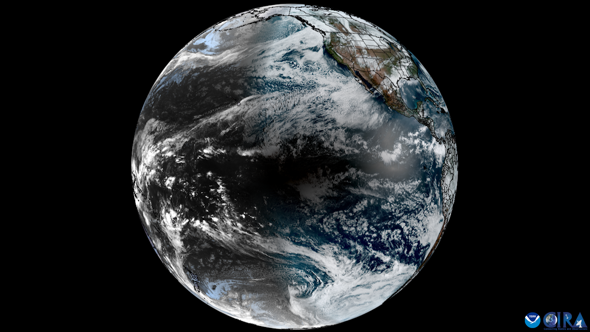
With NOAA and CSU support CIRA has operated a Geostationary Operational Environmental Satellite (GOES) Earth Station since 1980. Today our collection capability handles multiple simultaneous GOES transmissions, NOAA polar data, Himawari-8 and European MSG. CIRA also plays an important role in each new GOES satellite as one of the primary test sites for initial transmissions and sensor verification.
CIRA operates a high-technology infrastructure to support research in our major theme areas. The infrastructure contains over 300 workstations/servers, a satellite Earth Station with an online archive, several high-performance modelling clusters, and a high-speed network. With its expertise in data fusion, CIRA is developing systems and tools that will simplify the acquisition and manipulation of satellite and model data for scientific research.