
Director’s Office
CIRA IT Manager, Research Associate IV
Teams:
Publications
Remote Sensing of Tropical Cyclones: Observations from CloudSat and A-Train Profilers Wednesday, April 1, 2015
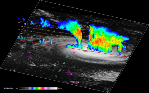
CloudSat (CS) heralded a new era of profiling the planet’s cloud systems and storms with its launch in 2006. This satellite flies the first 94-GHz spaceborne Cloud Profiling Radar, and the data collected have provided a unique perspective on Earth’s cloudiness and processes that affect clouds. CS flies in formation with the afternoon satellite constellation, a collection of active and passive satellite sensors offering near-simultaneous observations of the same cloud phenomena. While passes of the nadir-pointing Cloud Profiling Radar (CPR) antenna occur infrequently over tropical cyclones, they happen enough to provide a detailed compilation of the inner structure of clouds and precipitation of these complex storm systems. Nearly 8,000 vertical profiles of TCs have been collected during the period June 2006–December 2013 and observations continue as CS flies in daylight-only mode. These observations have been assembled into a one-of-a-kind dataset of three-dimensional features revealing precipitation areas, moats, and multilayered clouds. Each unique overpass profiled by CS has been compiled with corresponding A-Train sensors, model data, and storm-specific best-track information. The multisensor components of the CS and A-Train TC dataset together with these other data are summarized and cataloged as a function of radial distance from storm center. Example imagery is provided along with stratified reflectivity profiles detailing changes in storm structures across varying environmental shear conditions. The data reported on in this paper offer an unprecedented view of these major storm types and their inner structure.